
At a glance
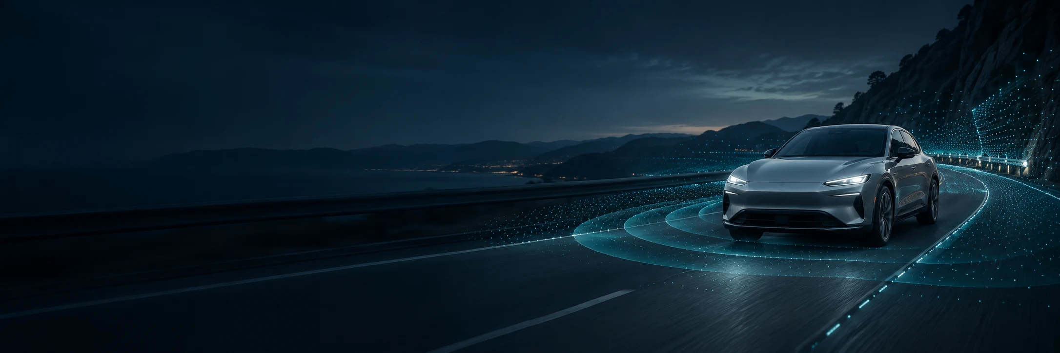
An automated vehicle repeatedly measures its surroundings, interprets the scene, anticipates movement, chooses a path and controls the car. The important consumer question is which parts the system performs and what the human must still do.
From measurements to motion
A useful way to understand automated driving is as a repeated loop. Real implementations combine and sometimes overlap these stages; the diagram is a teaching model, not a claim that every company uses identical software.
Sensors provide measurements. Perception turns measurements into an estimate of the scene. Prediction considers how the scene might change. Planning selects a possible movement, and control translates that plan into steering, braking and acceleration. The loop repeats as new evidence arrives.
What can be measured?
Cameras capture images; lidar measures range with laser light; radar uses radio waves. A blocked view remains an important constraint.
Repeat with new measurements. Stages overlap in real systems.
Example: approaching a partly hidden crosswalk
This is an illustrative scenario, not a promise of how a specific product will respond. Uncertainty cannot be removed simply by giving a system more cameras or a larger AI model.
| Stage | What the system needs to do | A difficulty to handle |
|---|---|---|
| Sense | Collect measurements of the road, parked vehicles and crosswalk | A parked van can hide someone from view. |
| Perceive | Estimate lane boundaries, objects and free space | A partial view can make an object uncertain. |
| Predict | Consider possible movements, including someone emerging | A pedestrian may change direction unexpectedly. |
| Plan | Choose a path and speed that account for uncertainty | The vehicle may need to leave more space or slow. |
| Control | Apply the chosen steering and speed changes | Road grip and other traffic still constrain motion. |
What maps and sensors contribute
Live sensors measure what is present now. Detailed maps can add road geometry and help establish position. A map alone cannot tell the car that someone has just stepped into the road.
Cameras, lidar and radar provide different types of evidence. Sensor fusion combines inputs, but its effectiveness depends on the design and the conditions. No sensor choice, by itself, proves that a vehicle is safe or driverless.
Why operating conditions matter
An operational design domain describes the conditions a system is designed to handle. It can include geography, roads, speed and weather. A service working in one city or on a mapped highway is not evidence that it works everywhere.
A supervised feature can help with steering and speed while the human monitors the road. A driverless service has a different responsibility model within its domain. Compare the actual instructions, not just the visual similarity of two cars.
Turn the technology into better buying questions
- Who must watch the road, and who responds when the feature reaches a limit?
- Which roads and conditions are supported on this exact vehicle?
- What happens when sensors are blocked or the feature disengages?
- Which functions are delivered now, rather than described in a roadmap?
Common questions
Do self-driving cars need internet to steer?
Do not assume the driving loop is performed over a continuous remote connection. For example, Waymo describes onboard computing. Connectivity can support other services and assistance; requirements vary by implementation.
Does AI eliminate the need for a driver?
Using AI does not establish driverless capability. Consumer systems can use sophisticated perception while still requiring continuous human supervision.
Explore the related guides
Learn
What Is ADAS? Features, Examples & Limits
Understand advanced driver assistance systems, from collision warnings to lane centering, and learn what to check before buying.
Learn
Lidar vs Cameras vs Radar in Self-Driving Cars
Compare what each sensor measures, where it helps and what its limits mean for driver assistance and autonomous vehicles.
Learn
Driving Automation Levels
Understand our JSL capability groups, standard SAE automation levels, and the difference between supervised hands-free assistance and eyes-off driving.
Sources & research
Based on the linked documentation. This is a research guide; availability, equipment and terms can change. Confirm the exact vehicle or trip with the provider.